
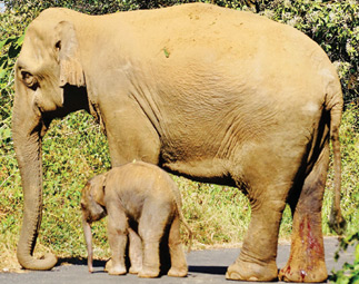
Elephant counted and monitored using Anti-poaching monitoring satellite
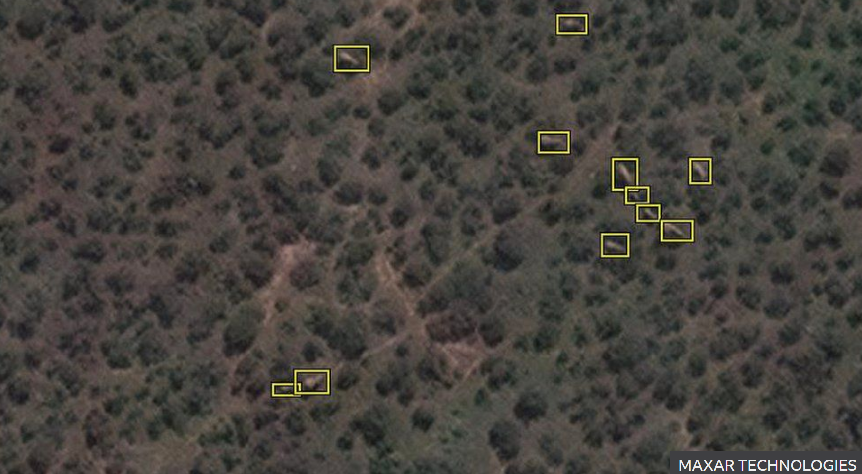

The pictures emerging from an Earth-observation satellite orbiting 372 miles ( 600km) above the planet’s surface could allow up to 5, 000 km² of elephant habitat to be surveyed on a single cloud-free day. All the laborious elephant counting is done via machine learning – a computer algorithm trained to identify elephants in a variety of backdrops. “We just present examples to the algorithm and tell it, ‘this is an elephant, this is not an elephant,’ By doing this, we can train the machine to recognize small details that we wouldn’t be able to pick up with the naked eye”, according to Dr. Olga Isupova from the University of Bath.
The scientists looked first at South Africa’s Addo Elephant National Park. “ It has a high density of elephants, and it has areas of thickets and of open savannah. Conservation organisations are already interested in using these replace surveys using aircraft, who will have pay for access to commercial satellites and the images they capture” Dr. Isla Duporge conservation scientist from the University of Oxford.
This approach would vastly improve the monitoring of threatened elephant populations in habitats that span international borders, where it can be difficult to obtain permission for aircraft surveys.
The pictures at first appearing from the satellite images to be grey blobs in a forest of green splotches and when you zoon in these blobs are revealed as elephants wandering through the trees.